A
Terrestrial Laser Scanning
High-resolution, tripod-based scanning for buildings, commercial properties, industrial facilities and infrastructure.
- High-density detail
- Interior and exterior
- Planned scan positions
From high-accuracy LiDAR scanning to intelligent BIM modelling, AxisBuildBIM provides integrated Reality Capture and BIM solutions for buildings, infrastructure and existing environments.
Our team helps architects, engineers, contractors, surveyors and property professionals capture real-world conditions and transform them into accurate digital data.
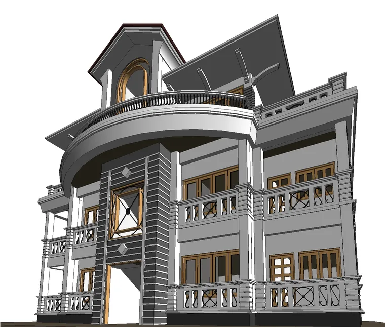
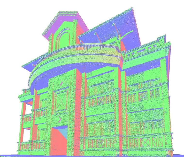
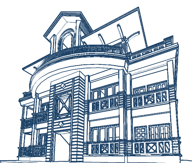
One building · scanned, registered, modelled
LiDAR (Light Detection and Ranging) is an advanced remote sensing technology that uses laser pulses to measure distances and capture the physical environment in three dimensions.
A LiDAR scanner captures millions of measurement points, creating a detailed 3D representation of buildings, structures and surrounding environments.
The resulting dataset, known as a point cloud, can be used for architectural documentation, engineering analysis, renovation planning, facility management and Scan-to-BIM modelling.
From the first scan position to the final Revit model, take one service or the whole chain.
High-resolution, tripod-based scanning for buildings, commercial properties, industrial facilities and infrastructure.
Walk-through mobile scanning that captures large and complex environments quickly, without setting up every station.
Every scan position combined into one unified, coordinated point cloud, checked against control and tied to your grid.
Cleaning, segmenting and organising scan data so it is ready for engineering, design and BIM work.
Registered point clouds turned into intelligent Revit models at the Level of Development you specify.
One team for the whole job: site scanning, point cloud processing and BIM model delivery under one scope.
We only offer scanning technologies our own team or a verified partner operates. Tell us about your site and we will confirm which applies.
Wherever your project is located, connect with our Reality Capture team to discuss your scanning requirements.
The coverage map could not be loaded.
Site outside our scanning coverage? We still model it.
Physical scanning is only offered where it is marked on the map. Point cloud to BIM is different: send us your registered scans (E57, RCP, LAS, PTS) from anywhere and our team delivers the Revit model remotely.
Six steps from your site to a checked, delivered model.
Step 1
Tell us where the site is and what you need captured.
Step 2
We assess the site and choose the right scanning approach.
Step 3
The scanning team captures the site with the right LiDAR equipment.
Step 4
Scans are registered, cleaned and prepared for modelling.
Step 5
Our BIM team builds the Revit model at the LOD you need.
Step 6
You receive the agreed deliverables after quality checks.
Anyone who needs the building as it really is, measured once and reused across the project.
Accurate existing conditions to design against, from day one.
Progress capture, as-builts and clash checks against the site.
Measured surveys and digital twins for leasing and due diligence.
Homes and apartments documented for extensions and remodels.
Plants and plant rooms captured without stopping operations.
The real building, not old drawings, before the work begins.
Registration, processing and modelling capacity on demand.
Asset-ready models for operations and maintenance.
Tell us where your project is located and what you need to capture. Our team will review your requirements and help you identify the right Reality Capture and BIM solution.
Quotes come back faster with